Cooking Tips• 8 min read
The Ultimate Guide to Sunday Meal Prep: Save Time and Eat Better
Tired of asking 'what's for dinner?' every night? Learn how dedicating just two hours on Sunday can transform your entire week of eating.
Read Article
Three simple steps to take control of your day.
Browse thousands of curated collections based on your diet and prep time.
Take your auto-generated smart list to the store and get exactly what you need.
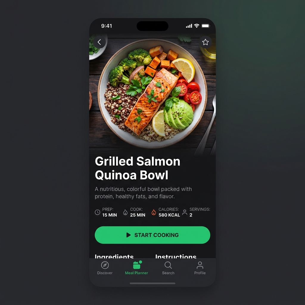
Follow the hands-free interactive mode while you cook.
Everything you need to succeed with Mila Recipes.
Filter recipes by ingredients you already have in your fridge to reduce food waste.
Follow along with high-definition video tutorials from Michelin-starred chefs.
One tap converts any recipe into a categorized grocery shopping list.
Automatically calculate calories, protein, and carbs for every meal you cook.
Strictly filter out allergens, or switch to Keto, Vegan, or Paleo modes instantly.
Read millions of user reviews and ingredient substitution tips before you cook.
Rated 4.7/5 from 12K+ reviews across App Store, Google Play, and more.
“This app has completely transformed my meal prep! The grocery list generator is a lifesaver.”
Marcus T.
Fitness Enthusiast
“Love the keto recipe options. I've lost 5 pounds just by following the weekly plans.”
Sarah L.
Home Cook
“Great app, but I wish there were more vegan options in the baking section.”
David K.
Home Cook
Download the app now.
Expert insights, news, and guides from the Mila Recipes team.
Tired of asking 'what's for dinner?' every night? Learn how dedicating just two hours on Sunday can transform your entire week of eating.
Cut through the marketing noise of single-use gadgets. Here are the foundational, high-quality tools that will actually improve your cooking.
Forget restrictive fad diets. Learn the science of macronutrients and how to balance your plate to achieve fat loss, muscle gain, or sustained energy.